

LiDAR Measurements
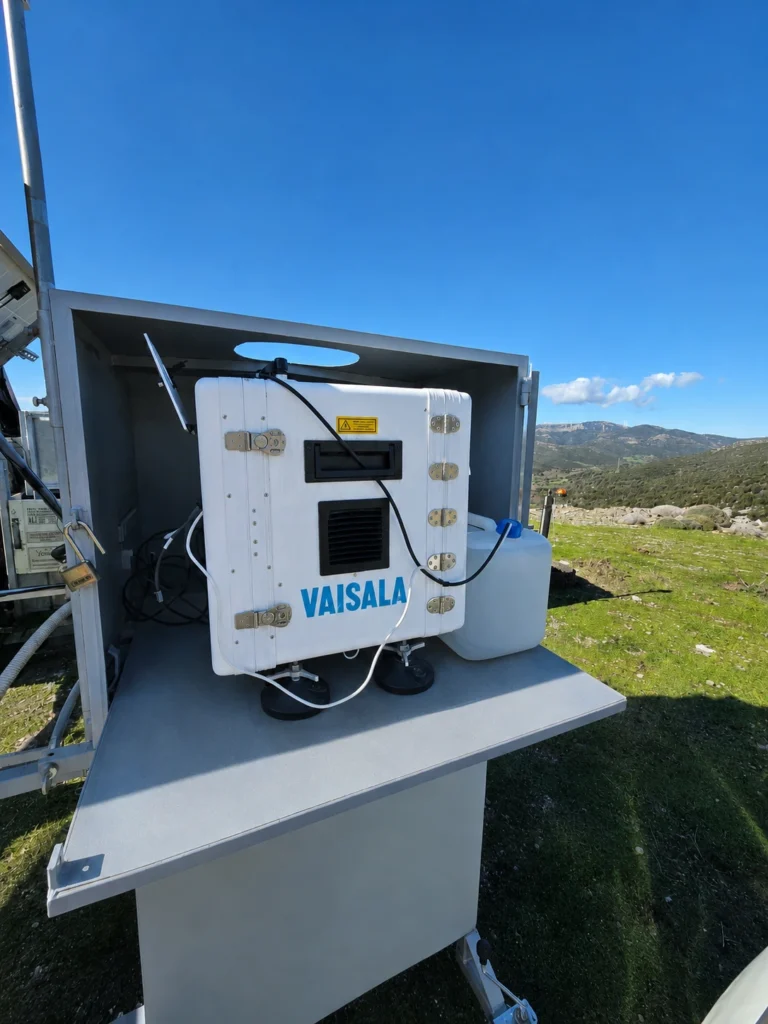
2EN uses Vertical LiDAR for wind resource measurement and wind profiling across multiple heights. Rapid deployment and flexible siting make LiDAR particularly useful where a meteorological mast is impractical, insufficient or not the preferred solution.
2EN’s Wind Measurement Laboratory is accredited to ELOT EN ISO/IEC 17025:2017 for wind speed measurements using LiDAR technology, in accordance with IEC 61400-12-1:2022 §7.2.5 and the relevant requirements of IEC 61400-50-2:2022.
Capabilities and applications
Vertical LiDAR measurement strategies are designed around the site and project objective, from co-located measurements alongside a meteorological mast to stand-alone deployment at remote sites.
- Wind profiling across multiple heights.
- Wind measurements up to 400 m.
- Deployment where a meteorological mast is difficult or impractical.
- Measurements in complex terrain, with the measurement strategy adapted to site and flow conditions.
- Remote monitoring of system operation and data quality.
- Autonomous operation where grid power is unavailable.
40+
LiDAR measurement campaigns
90%
years of LiDAR experience
400 m
maximum measurement height
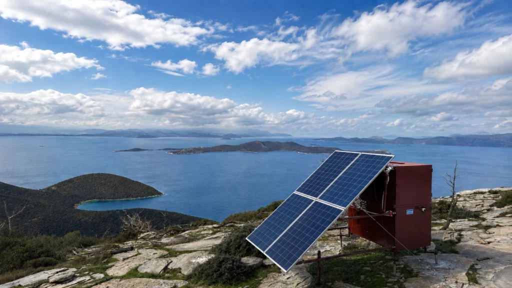
Field experience and continuous operation
Reliable LiDAR operation depends on more than the instrument itself. Siting, power supply, communications and systematic monitoring are all part of the measurement strategy.
Complex terrain
Siting and measurement configuration are selected with the terrain and project requirements in mind.
Autonomous power
Autonomous power systems enable LiDAR operation at locations where grid power is unavailable.
Continuous monitoring
Systems are monitored remotely so that issues can be identified early and data loss kept to a minimum.
Considering LiDAR for your project?
Talk to us about the site conditions and the measurement approach that best fits your project.