

Wind resource measurement, from field to analysis
2EN supports wind projects from field measurement through to energy yield assessment. We design and operate measurement campaigns using meteorological masts, Vertical LiDAR and Scanning LiDAR, and provide the data analysis, flow modelling and AEP studies needed to understand the wind resource and support project design.
Services
From measuring the wind to estimating energy production, 2EN brings together field measurements, data processing and engineering analysis to support the design of wind projects.
Wind Resource Measurement
We manage the full measurement process, from site and equipment selection through installation, monitoring and final data processing.
Energy Yield Assessment
Wind resource and energy yield assessment using long-term correlation, flow modelling, loss calculations and uncertainty analysis.
Meteorological Masts
We design, manufacture and install meteorological masts tailored to the site, required height and measurement requirements.
LiDAR Measurements
Vertical LiDAR for wind profiling at multiple heights, with rapid deployment and flexible siting where a meteorological mast is difficult or impractical.
Scanning LiDAR Measurements
Scanning and Dual Scanning LiDAR for long-range measurements and wind field reconstruction, particularly for offshore areas and hard-to-access locations.
Reliability at every stage
Data quality depends on how the measurement system is designed, monitored and maintained throughout the project. 2EN combines field experience, continuous monitoring and responsive technical support to keep systems operating and minimise data loss.
Field experience
Installation and measurement work in mountainous, remote and demanding locations, with equipment and measurement layouts adapted to project conditions.
Reliable data
Continuous checks on system status and data quality help identify issues early.
Technical support
Remote monitoring and diagnostics, backed by field intervention when required, help restore equipment operation quickly.
Controlled procedures
Equipment, checks and technical interventions are systematically recorded throughout the measurement period.
LiDAR technologies for demanding measurements
2EN deploys Vertical and Scanning LiDAR across a wide range of heights and distances, from complex onshore terrain to offshore measurement areas. System layout, siting and operating strategy are selected around the site conditions and measurement objective.
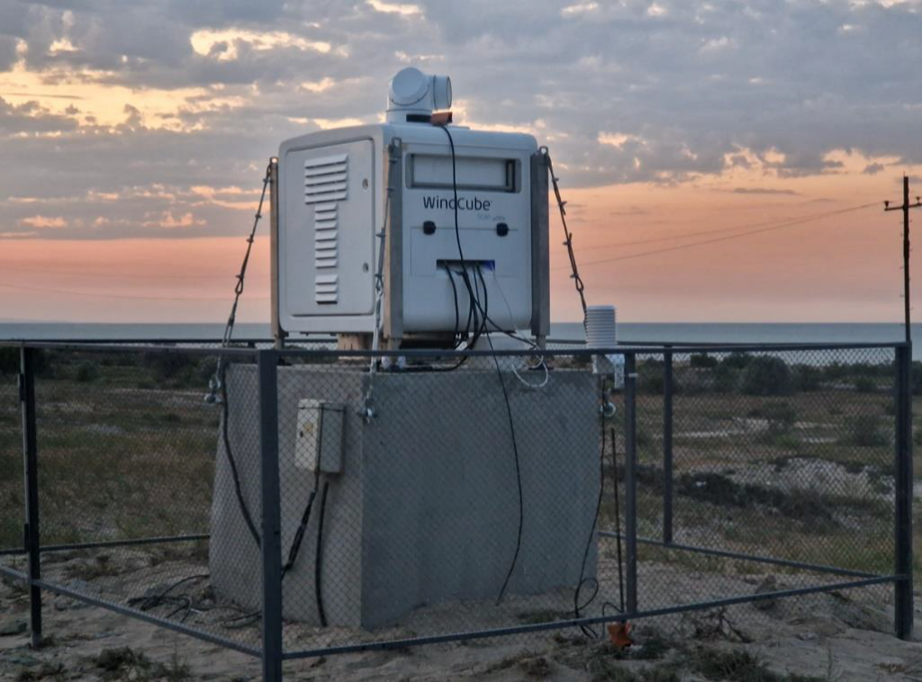
Experience in challenging installations
Many measurement projects take place in locations with limited access, no grid connection, or demanding weather and terrain. 2EN has the field experience and supporting equipment to keep systems operating under these conditions.
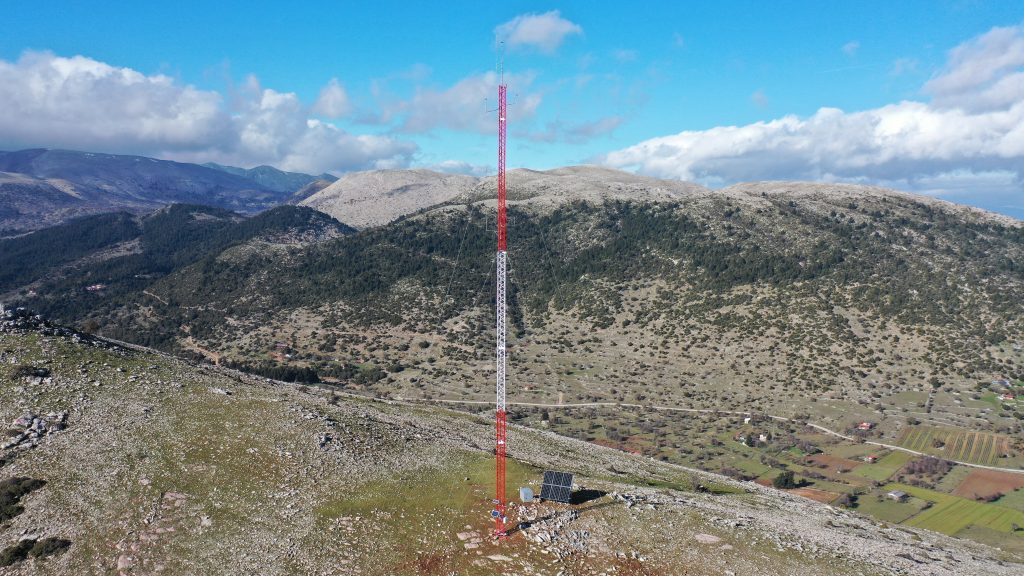
Measurement infrastructure
Installation of meteorological masts, sensors and other measurement equipment at mountainous, remote and hard-to-access sites.
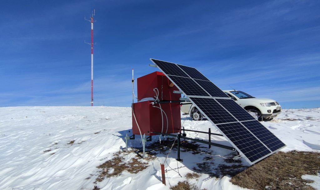
Autonomous operation
Autonomous power systems allow measurement equipment and LiDAR to operate where grid power is unavailable.
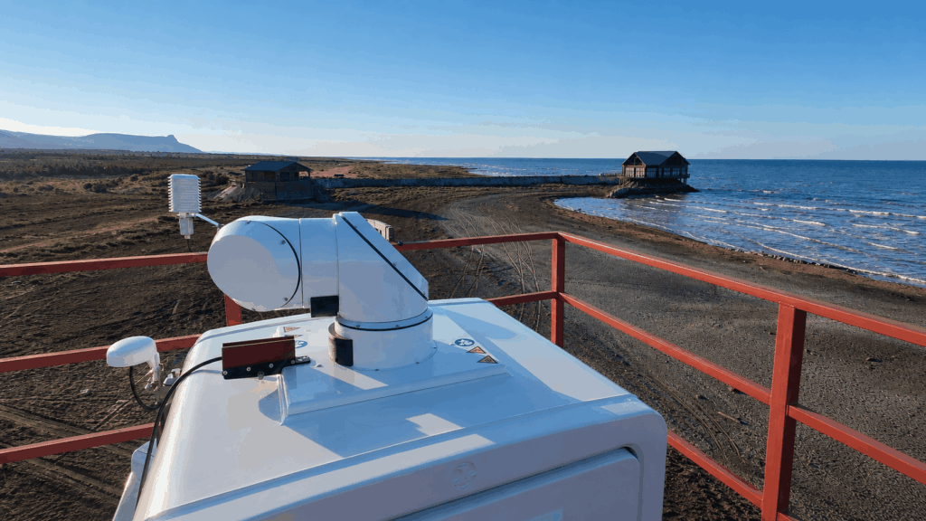
LiDAR in the field
Vertical and Scanning LiDAR deployments at onshore and coastal sites, with measurement layouts and supporting infrastructure adapted to each project.
Measurement quality and traceability
Data quality is managed throughout the measurement period, not checked only at the end. Equipment status, system performance and recorded data are reviewed systematically from installation through final processing.
Quality control
Regular checks of equipment, system operation and recorded data help identify issues early.
Traceability
Equipment, calibrations, technical interventions and key checks are recorded and maintained as part of a structured project history.
Accreditation & international technical participation
2EN’s Wind Measurement Laboratory is accredited to ISO/IEC 17025. 2EN also takes an active role in the MEASNET Site Assessment Expert Group, sharing technical experience and staying closely engaged with developments in wind measurement, wind resource analysis and energy yield assessment.
Discuss your next project with 2EN
Talk to us about your project requirements and the right approach to measurement, analysis and technical support.