

Scanning LiDAR Measurements
2EN deploys Scanning LiDAR for long-range wind measurements and wind field reconstruction, with particular value for offshore wind projects and areas where conventional measurement infrastructure is difficult to install.
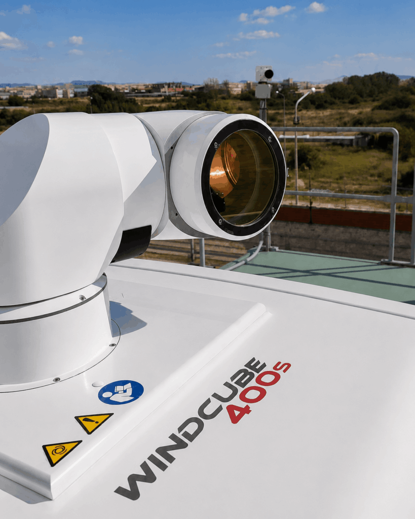
Using Vaisala WindCube Scan systems, we manage installation, alignment, synchronisation and ongoing operational monitoring throughout the measurement period.
Wind measurement and reconstruction
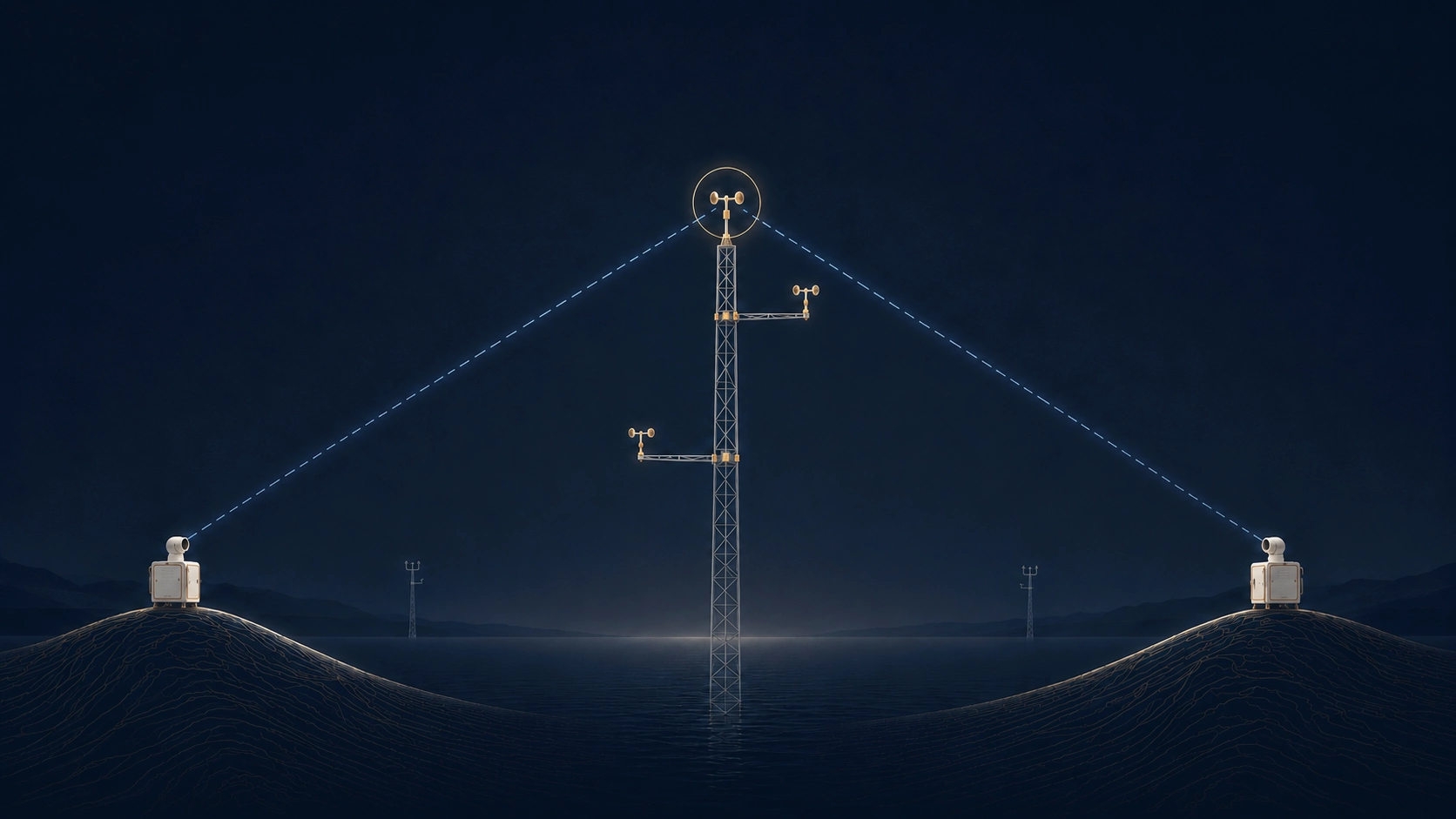
Scanning LiDAR measures the radial, or line-of-sight, component of wind speed along the laser beam. With appropriate scan strategies and, for Dual Scanning LiDAR, two synchronised systems, these measurements can be combined to reconstruct horizontal wind speed and direction at selected points and heights.
Key capabilities
- Offshore wind field measurements from suitable coastal locations.
- LOS measurements at ranges up to 18 km, depending on atmospheric conditions and signal return.
- Dual Scanning LiDAR using two synchronised systems.
- Reconstruction of horizontal wind speed and direction at multiple Virtual Measurement Points (VMMs).
18 km maximum measurement range
10 km turbulence intensity measurements
3–4 measurement points within the study area
Virtual Met Mast
With two synchronised Scanning LiDARs, radial velocities measured from different viewing directions are combined at beam intersection points. This provides horizontal wind speed and direction at selected heights and locations, creating Virtual Measurement Points (VMMs) without installing a physical mast at the measurement point.
See the comparative study of Dual Scanning LIDAR and meteorological mast measurements in Greece ↗
In-house development for Scanning LiDAR
2EN goes beyond off-the-shelf software. We have developed our own tools for Scanning and Dual Scanning LiDAR, shaped by experience from real measurement projects. They support measurement geometry and layout design, campaign monitoring, data processing and quality control.
Applications in demanding projects
Scanning LiDAR can measure areas located far from the instrument position, reducing the need for physical measurement infrastructure within the area of interest.
Offshore applications
Wind field measurements over offshore areas from coastal or other suitable locations, reducing the need to deploy equipment at sea.
Flexible deployment
Systems can be deployed at remote or hard-to-access locations and operated with autonomous power where grid connection is unavailable.
International technical participation
2EN staff take part in IEA Wind Task 52, including the Offshore Scanning LiDAR Experts Group, sharing practical experience and contributing to discussions on methods, applications and relevant standards.
Planning Scanning LiDAR measurements?
Talk to us about the instrument location, measurement area and Scanning LiDAR configuration for your project.