
2EN performs Scanning Lidar measurements using Vaisala’s WindCube in Greece and abroad, delivering precise and reliable wind data from various applications. 2EN personnel specialize in the installation, monitoring and operation of the system, ensuring optimal performance and accurate measurements.
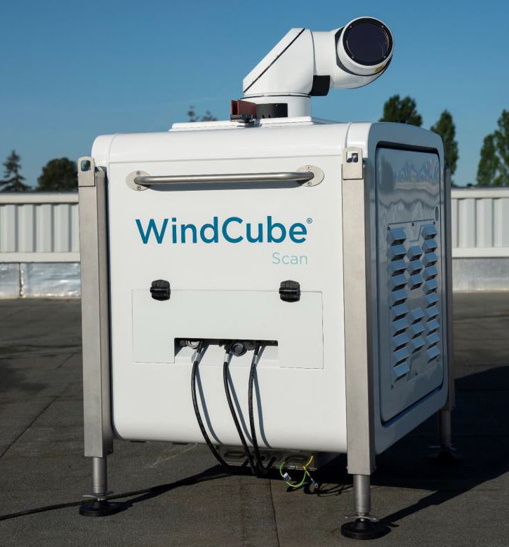
Vaisala’s WindCube Scan is a cutting-edge 3D scanning Doppler lidar system designed to provide comprehensive wind measurements for both onshore and offshore applications. By emitting laser pulses and analyzing the backscatter from atmospheric particles, it delivers high-resolution, real-time wind data across a full 360-degree horizontal scan and multiple vertical profiles.
This capability enables the assessment of wind conditions over extensive areas, including multiple turbines simultaneously, thereby enhancing decision-making processes, optimizing turbine placement, and improving the overall efficiency of wind farms.


Key advantages of Scan Lidars:
- High-Resolution 3D Wind Data: Vaisala’s scanning lidars provide detailed wind measurements in all directions (360-degree horizontal scan) and multiple vertical profiles, giving a complete view of wind conditions.
- Real-Time Measurements: These systems deliver real-time wind data, enabling immediate decision-making for applications like wind energy forecasting, turbine placement, and site assessments.
- Onshore and Offshore Capabilities: Vaisala’s WindCube Scan can be deployed for both onshore and offshore wind resource assessments, improving versatility and coverage for wind farms.
- Dual Lidar Option for Offshore Applications: The dual lidar configuration provides a comprehensive, multi-angle assessment for offshore wind assessments, reducing uncertainties and improving data accuracy.
- Remote Monitoring: Ideal for challenging or hard-to-reach locations, scanning lidars provide valuable insights without requiring costly or complex infrastructure.
- Enhanced Wind Resource Assessment: Accurate, high-quality data allows for optimized turbine placement, leading to improved energy efficiency and reduced operational risks.
- Reduced Deployment Time and Costs: The scanning lidar system can cover wide areas with fewer setups, saving time and reducing costs compared to traditional meteorological masts.